“ArcGIS”; in this word GIS stands for Geographical Information System. Basically, ArcGIS is an application which provides Geographic Information.It allows the users to connect with people, different locations and data using various interactive maps. People can avail the benefits like inventory and management of resources, crime mapping, establishing and monitoring routes, managing networks, etc. This software is also used for handling and analyzing geographical information by visualizing geographical statistics through layer building maps like climate data or trade flows. It can be sharable also.
If ArcGIS is not working as usual at this time or maybe it’s down permanently then here are some of the best alternatives to ArcGIS which you will surely enjoy.
So, We have got your back! if you want to try some other [category] like ArcGIS then here are some of the best ArcGIS alternatives that you should try:
 Website
Best Alternatives To ArcGIS
QGIS
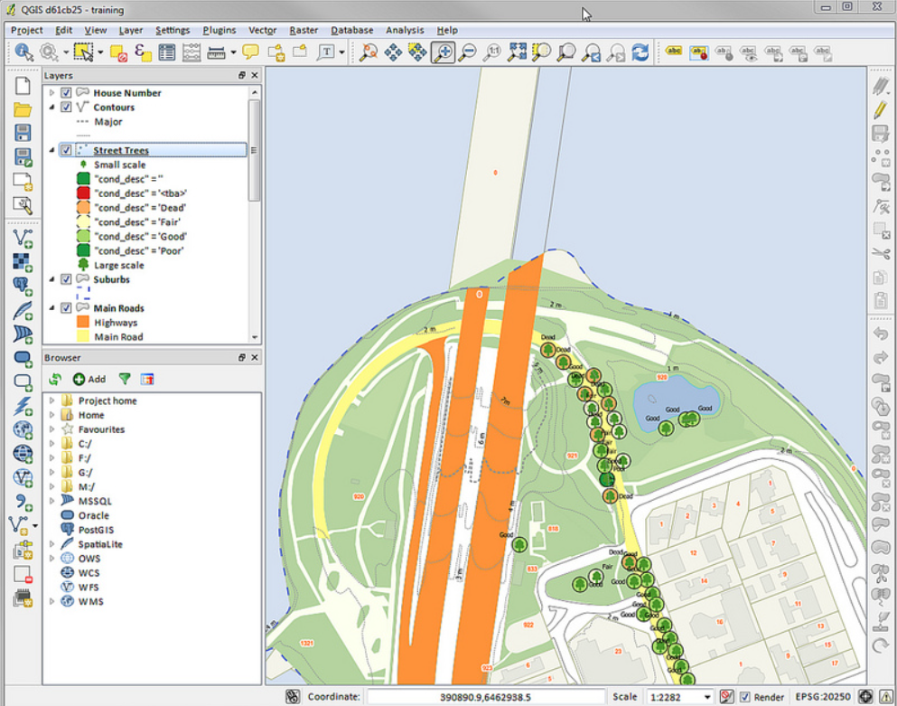
QGIS is open-source Geospatial Information System (GIS) software that allows users to display, analyse, and manage geographical data. It allows users to produce, modify, and display several forms of spatial data such as vector, raster, and satellite images, making it an indispensable tool for professionals...
Maptitude
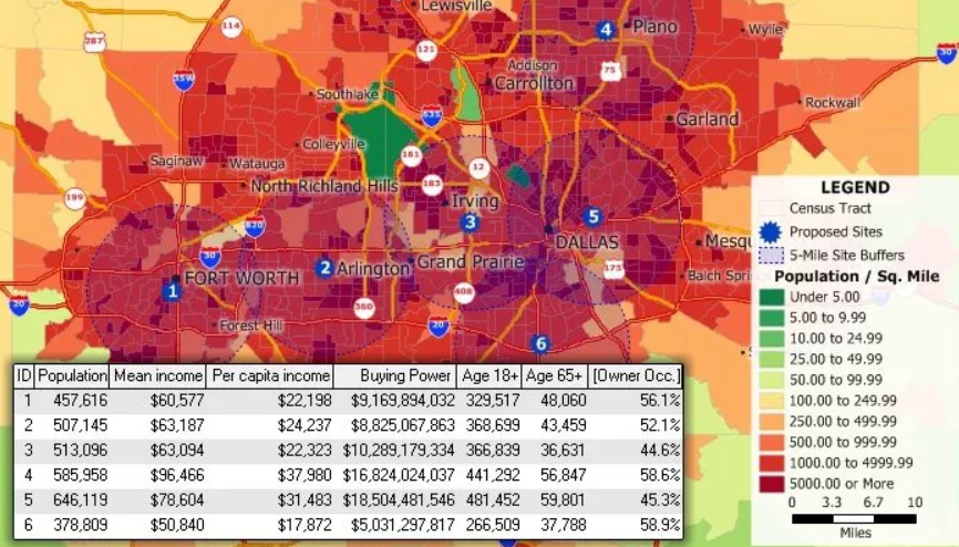
Maptitude is a robust mapping program that assists businesses and organisations in creating useful and compelling maps for data analysis and display. The program has powerful geocoding, routing, and spatial analysis functions, as well as a full array of tools for making and modifying maps....
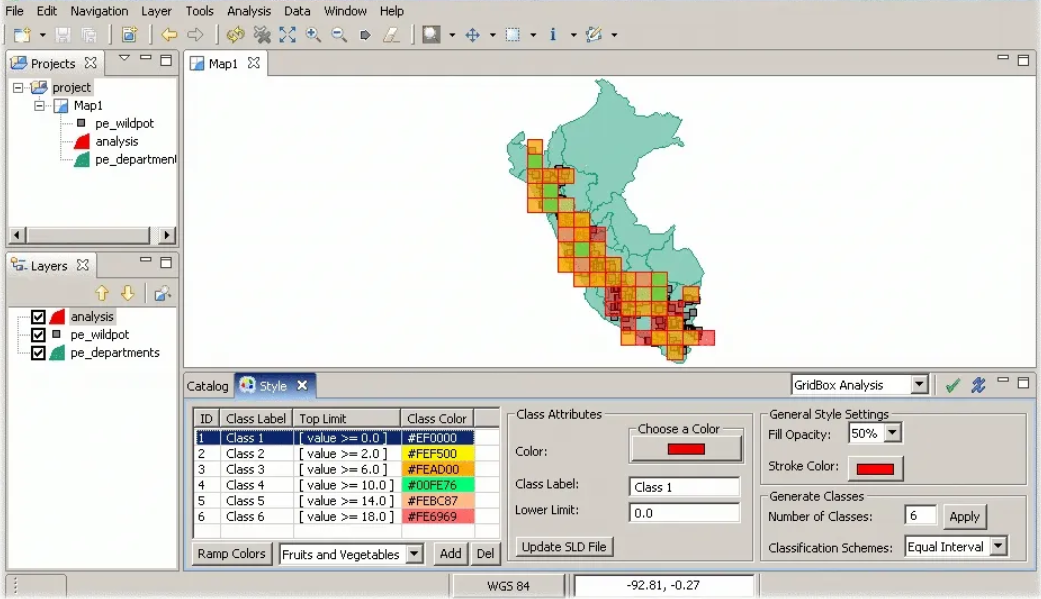
Check AlternativesGRASS GIS
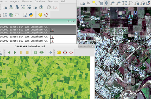
GRASS GIS also known as Geographic Resources Analysis Support System is a robust, geographic information system (GIS) for sophisticated geospatial data analysis and administration that provides a full set of tools for data management, geographic analysis, and visualisation, including raster, vector, and 3D data support....
Check AlternativesMangoMap
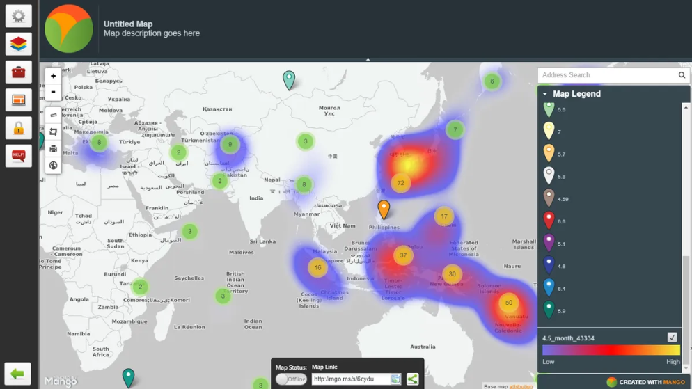
MangoMap is a cutting-edge mapping web application that helps businesses and organisations display and analyse data. It allows users to quickly and simply build interactive maps without any coding or technical skills. It provides a variety of customization choices, such as map themes, colours, and...
Check AlternativesMapline
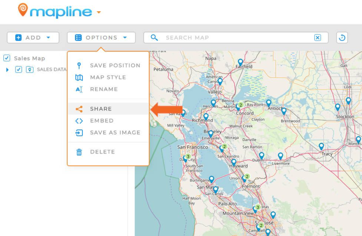
Mapline is a robust mapping program that allows businesses and organisations to generate customised maps for data presentation and analysis. Users may obtain insights into their data by producing heat maps, radius maps, and territory maps, among other things, using its sophisticated analytics capabilities. Also,...
Check Alternativeswhat3words
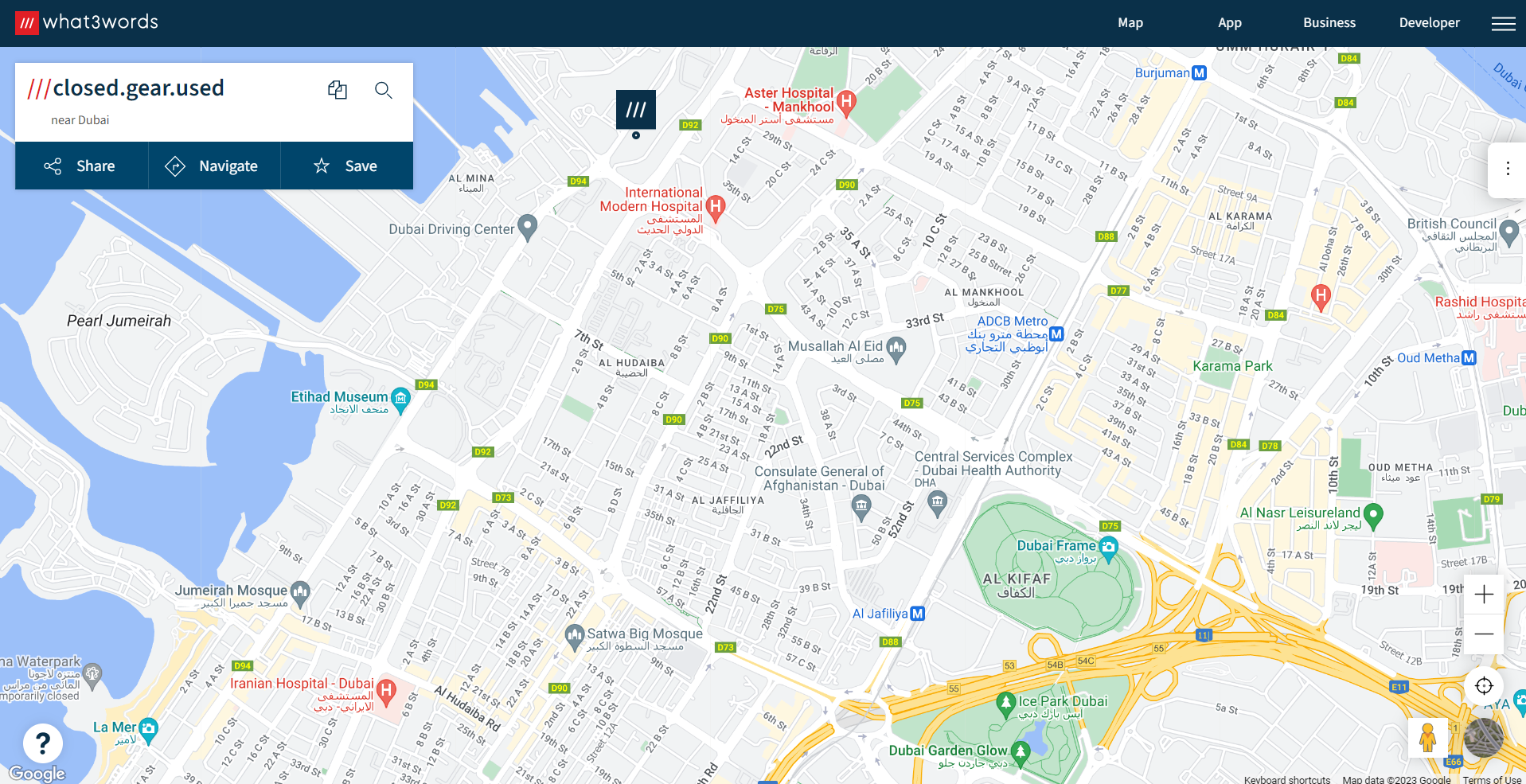
what3words is a geocoding method that splits the world into 3m x 3m squares, each with its own unique combination of three words. It is known for its accuracy and precision, which enable users to identify precise places that would be difficult or impossible to...
Check AlternativesuDig
uDig is a geographic information system (GIS) program that offers a comprehensive range of capabilities for geographical data processing, mapping, and visualisation. It is a good solution for people and companies wishing to interact with geospatial data due to its user-friendly interface and expandable design....
Check AlternativesPostGIS
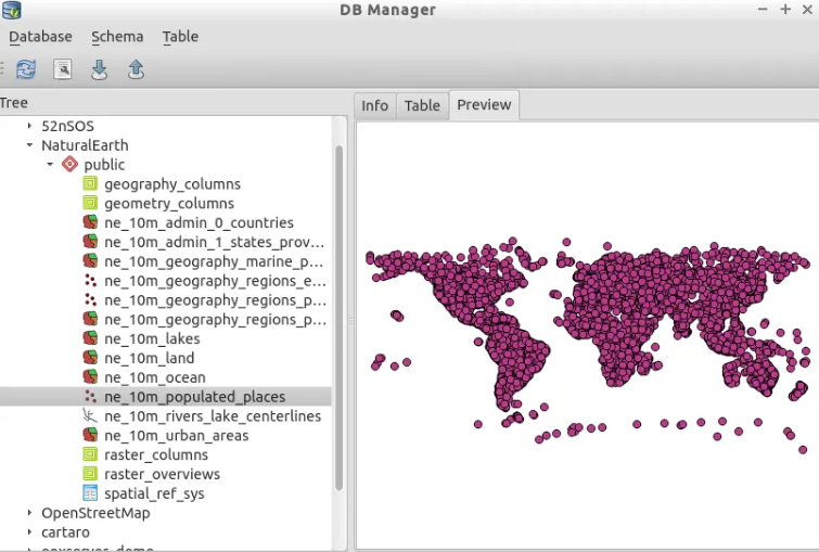
PostGIS is a robust open-source spatial database that enables the storage, management, and analysis of geographic data. You can quickly add geographic capabilities to your current PostgreSQL database using PostGIS, allowing you to run complicated spatial searches, analyse spatial connections, and build unique spatial applications....
Check Alternatives